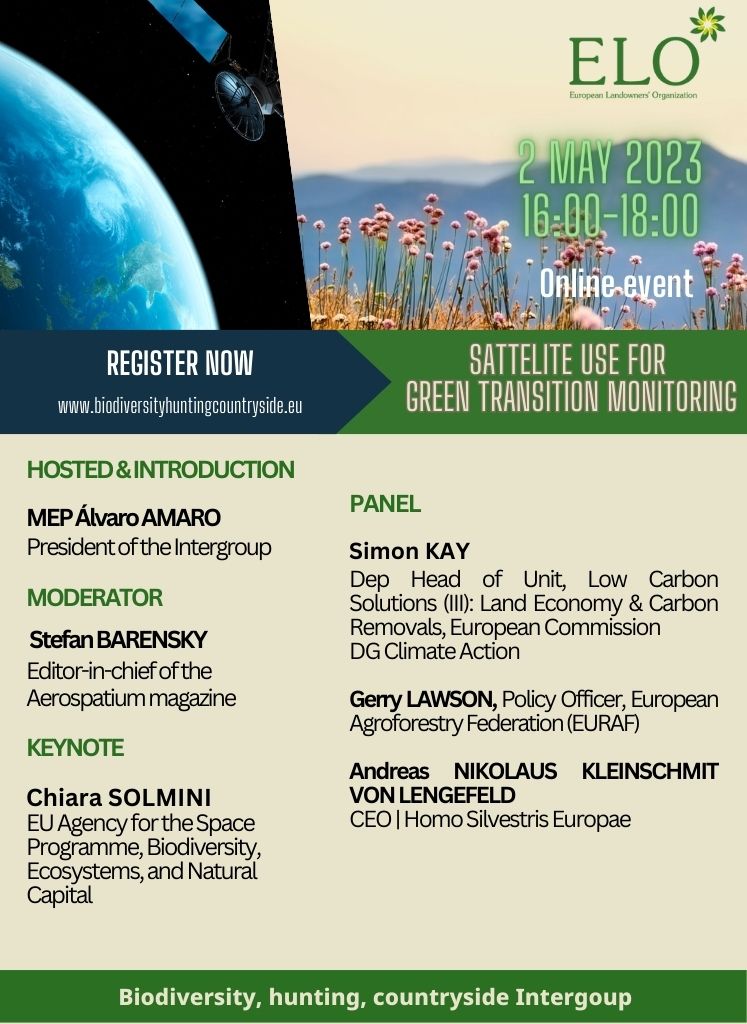
02 May 2023, 16:00– 18:00 CET | Online event
Satellite data has become an increasingly important tool for biodiversity conservation and management. It allows scientists and policymakers to monitor and track changes in the Earth’s ecosystems, including the distribution and health of plant and animal species.
Furthermore, satellite data can be used as an important tool for land managers to monitor the health, biodiversity, and productivity of their lands, which can reduce the need for chemical inputs and help to optimize crop yields.
Modern satellites with a range of sensors provide new and valuable perspectives. However, technological advances can bring their own problems or limitations. There is still room for improvement in this area.
The debate should help identify and understand better the opportunities and future challenges around the use of satellite data to support a concrete transition toward sustainable management of European lands.